The Challenge
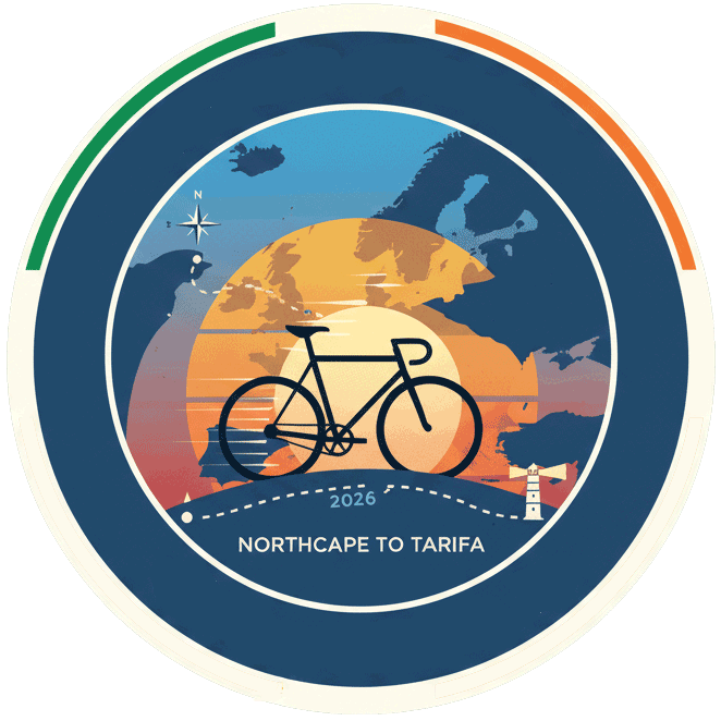
Northcape-Tarifa
The Northcape-Tarifa is the world’s longest self-supported bicycle race, covering a route of approximately 7,400 km from the northernmost point of mainland Europe, North Cape in Norway, to its southernmost tip, Tarifa in Spain. It is organized by Transbike Adventures.
The route:
The race begins at midnight on Midsummer’s day, June 20th, with 24 hours of daylight at the North Cape in Norway.
- The route spans 15 countries, taking riders through diverse landscapes and cultures across Europe.
- The journey passes through countries like Norway, Finland, Estonia, Latvia, Lithuania, Poland, Czechia, Germany, Austria, Switzerland, Liechtenstein, Italy, France, and Andorra before reaching Spain.
- Riders traverse major mountain passes, including the Col d’Iseran and Pico del Veleta.
- The race culminates at the finish line in Tarifa, Spain, where the Atlantic meets the Mediterranean.
Along the route, riders must pass through several checkpoints, some of which also serve as potential finish lines for shorter distances:
- Helsinki, Finland (1,753 km)
- Hill of Crosses, Lithuania
- Bregenz, Austria (4,070 km)
- Col du Galibier, France
- Nice, France (5,370 km)
- Port d’Envalira, Andorra
- Pico del Veleta, Spain (3,398 m elevation)
- Tarifa, Spain (7,400 km)
Race format:
- The event is unsupported, meaning riders cannot receive private outside assistance.
- Riders must carry a GPS tracker and follow the designated route.
- There is no time limit for completing the race.
The NorthCape-Tarifa (NCTA) is widely considered the longest and one of the most grueling unsupported bicycle races in the world. Spanning approximately 7,400 km across 15 countries, it takes participants from the northernmost tip of Europe in Norway to its southernmost point in Spain.
The challenge is not just a test of fitness, but a psychological and logistical odyssey. Here are the primary hurdles participants must overcome
Massive Elevation and Diverse Terrain
The route is famously vertical, with a total elevation gain of roughly 80,000 meters. To put that in perspective, riders climb the equivalent of Mount Everest nearly nine times
The Arctic and Baltics: The early stages through Norway and Finland involve rolling hills and “heavy” roads that sap energy early on.
The Alpine Wall: Central Europe presents the most concentrated physical challenge, requiring riders to summit legendary passes like the Gotthardpass, Furkapass, and Col du Galibier.
The Iberian Grinder: By the time riders reach Spain, they face the Sierra Nevada mountains and the climb to Pico del Veleta (the highest paved road in Europe at 3,398m), all while battling thousands of kilometers of fatigue.
Extreme Weather Fluctuations
Participants must pack for four seasons in a single trip.
- The North: Starting in June at the North Cape, riders face “the midnight sun”—24 hours of daylight that can disrupt sleep cycles—alongside freezing winds and torrential rain.
- The South: As they move into Spain and the Gorafe Desert, temperatures often soar above 40°C. Managing heatstroke and dehydration becomes a daily battle for survival.
The “Self-Supported” Mandate
This is an unsupported race, meaning there are no follows-cars, no pre-arranged hotels, and no mechanical help.- Logistics: Riders must find their own food and water, often in remote areas or late at night when shops are closed.
- Mechanical Resilience: If a frame cracks or a shifting system fails in the middle of the Pyrenees, the rider must fix it themselves or find a local shop without outside assistance.
- Sleep Deprivation: To be competitive, many “dot-watchers” (as fans call them) sleep only 3–5 hours a night, often in ditches, bus stops, or behind petrol stations.
Psychological Isolation
Unlike a group tour, the NCTA is a solitary experience. While riders might cross paths, they spend the vast majority of their 20 to 40 days alone.- Mental Fortitude: Managing the “lows”—muscle pain, saddle sores, and the overwhelming distance remaining—requires immense mental discipline.
-
Navigation: While the route is fixed, staying on course while exhausted is a challenge. A wrong turn can result in extra kilometers and wasted vertical gain.
Key Route Statistics
| Feature | Detail |
|---|---|
| Total Distance | ~7,370 km to 7,400 km |
| Total Climbing | ~80,000 meters |
| Countries Crossed | 15 (including Norway, Finland, Estonia, Latvia, Lithuania, Poland, Czech Republic, Germany, Austria, Switzerland, Italy, France, Andorra, Spain) |
| Highest Point | Pico del Veleta, Spain (3,398m) |